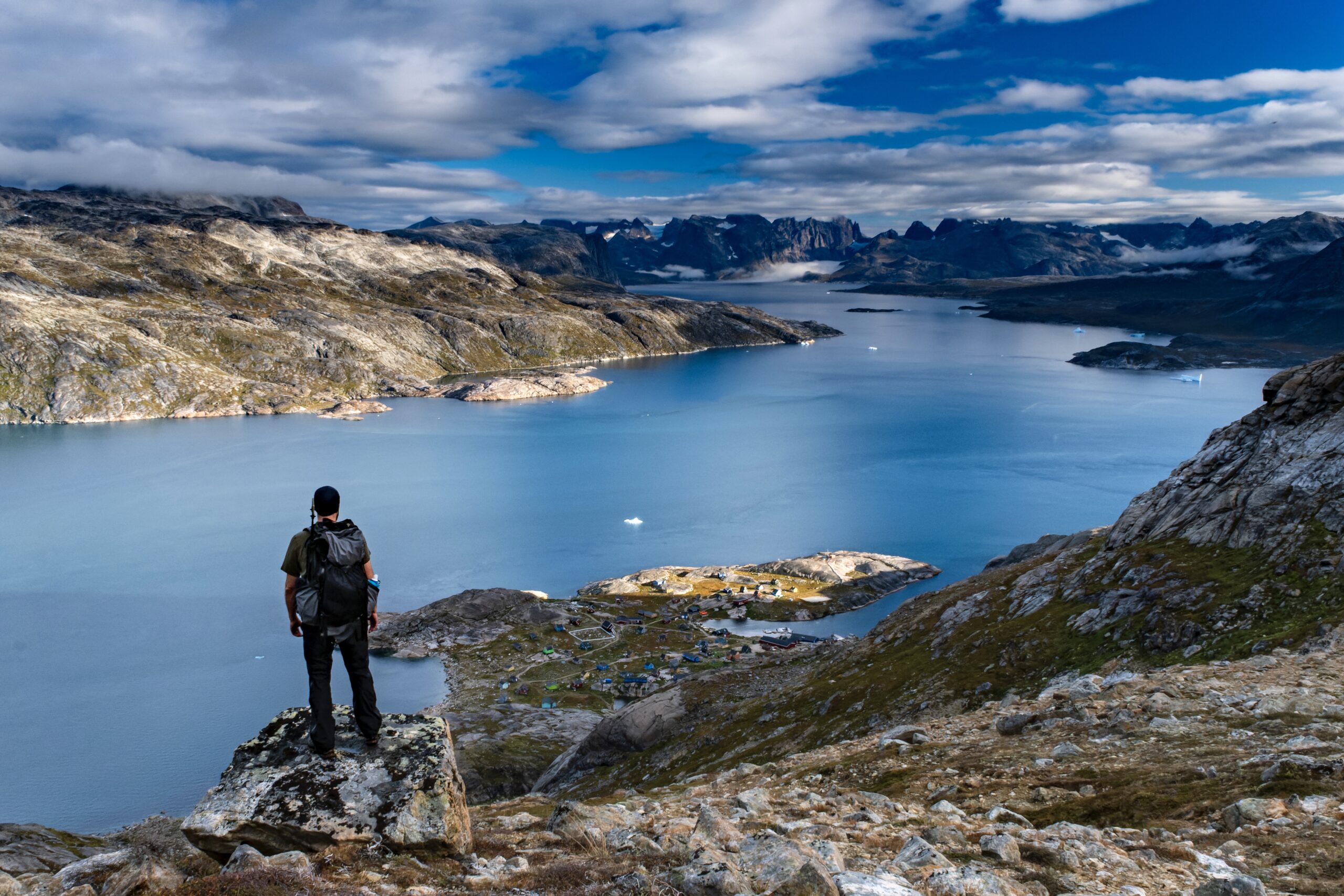
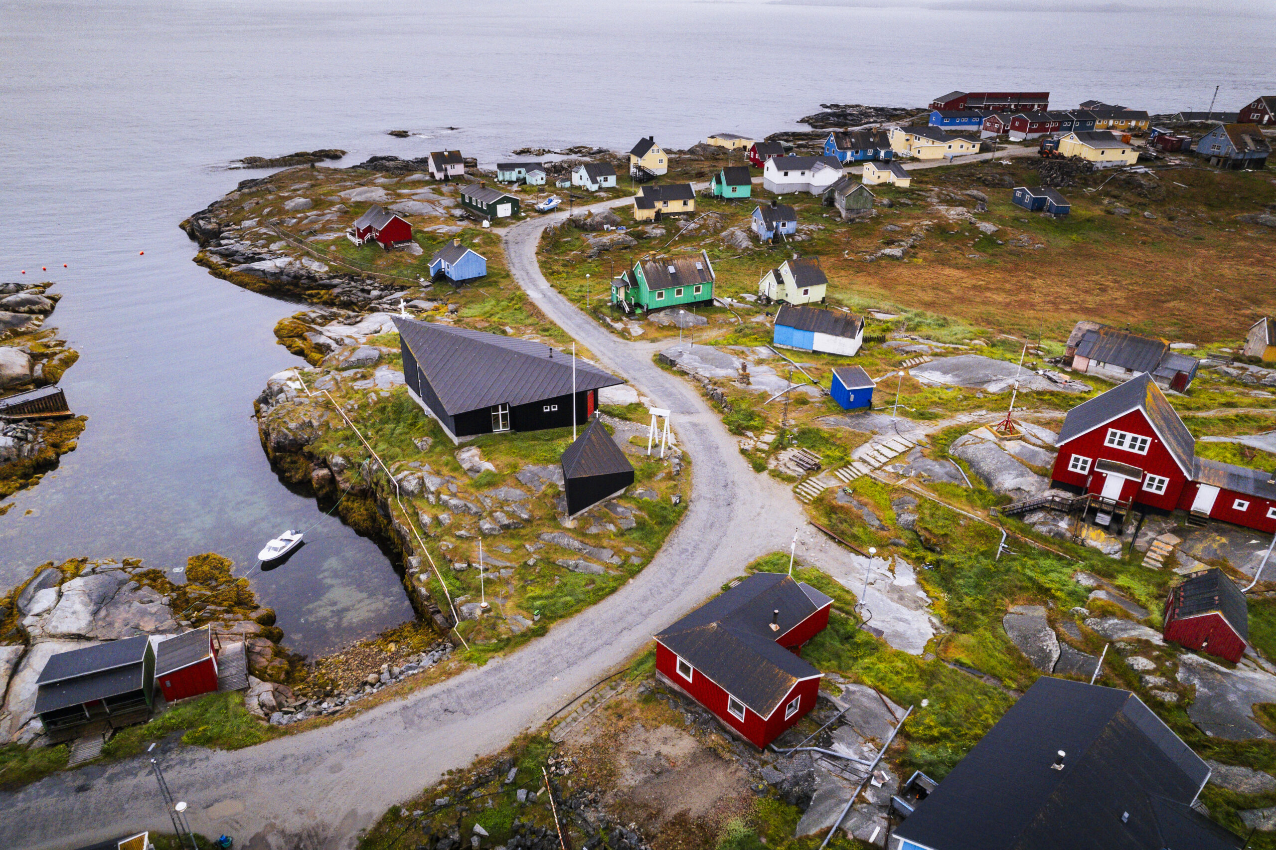
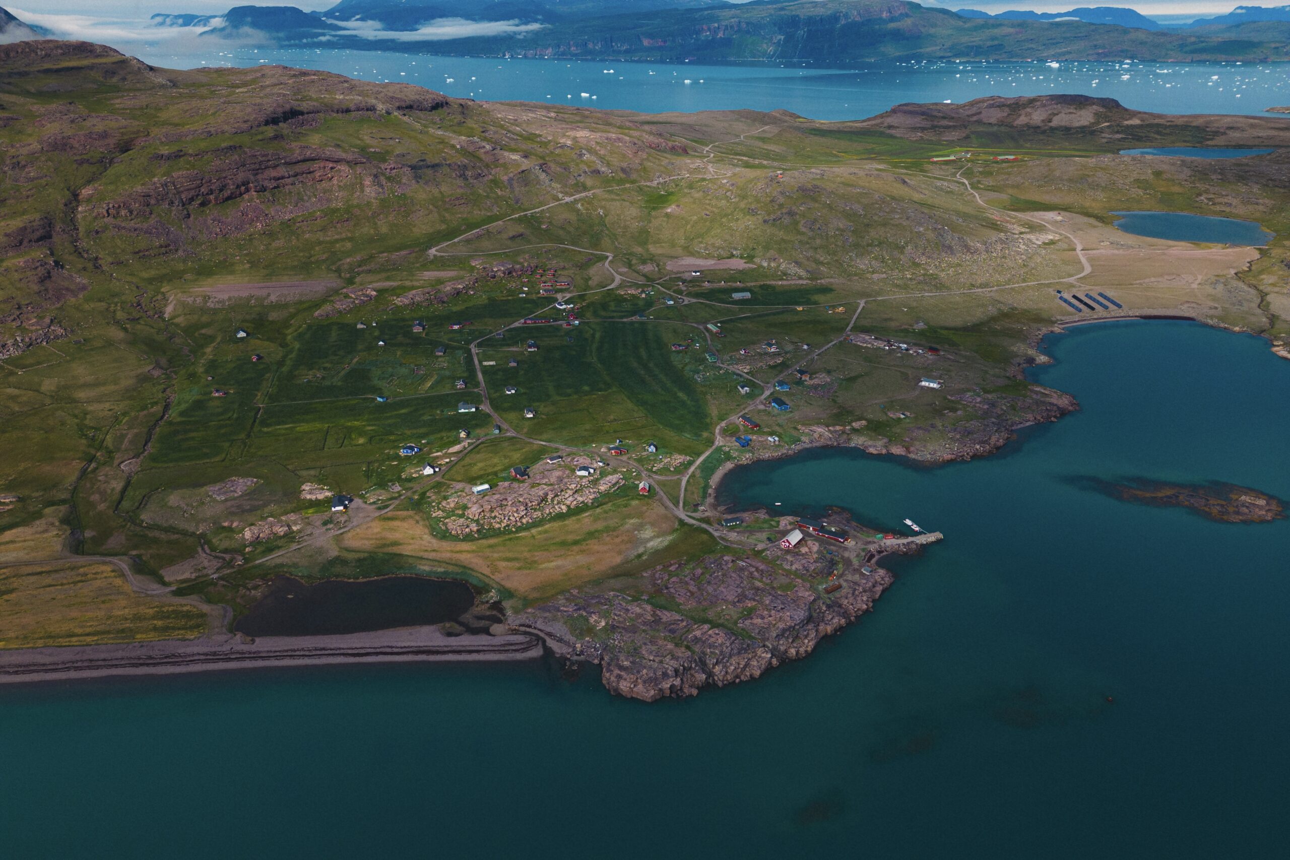
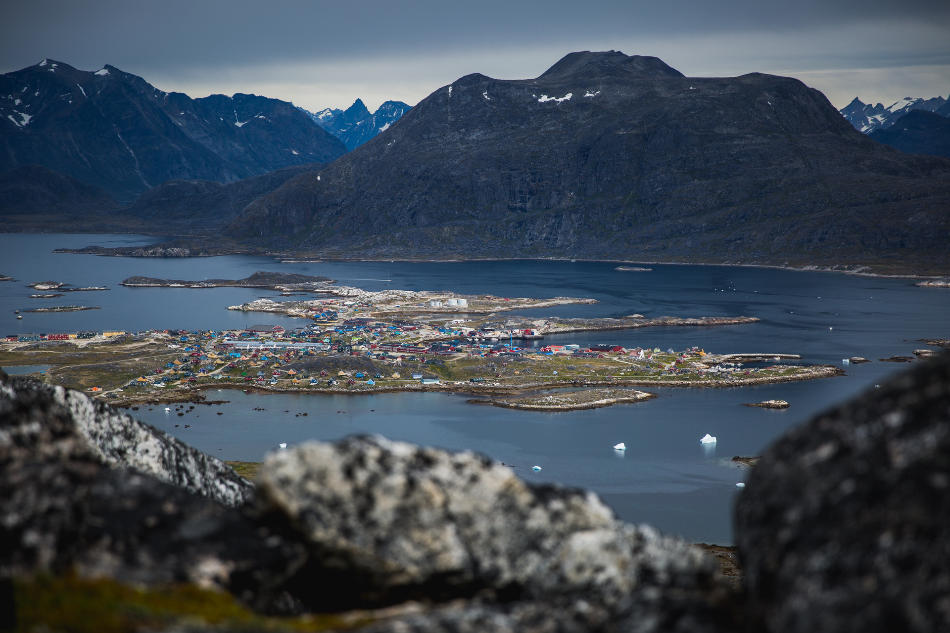
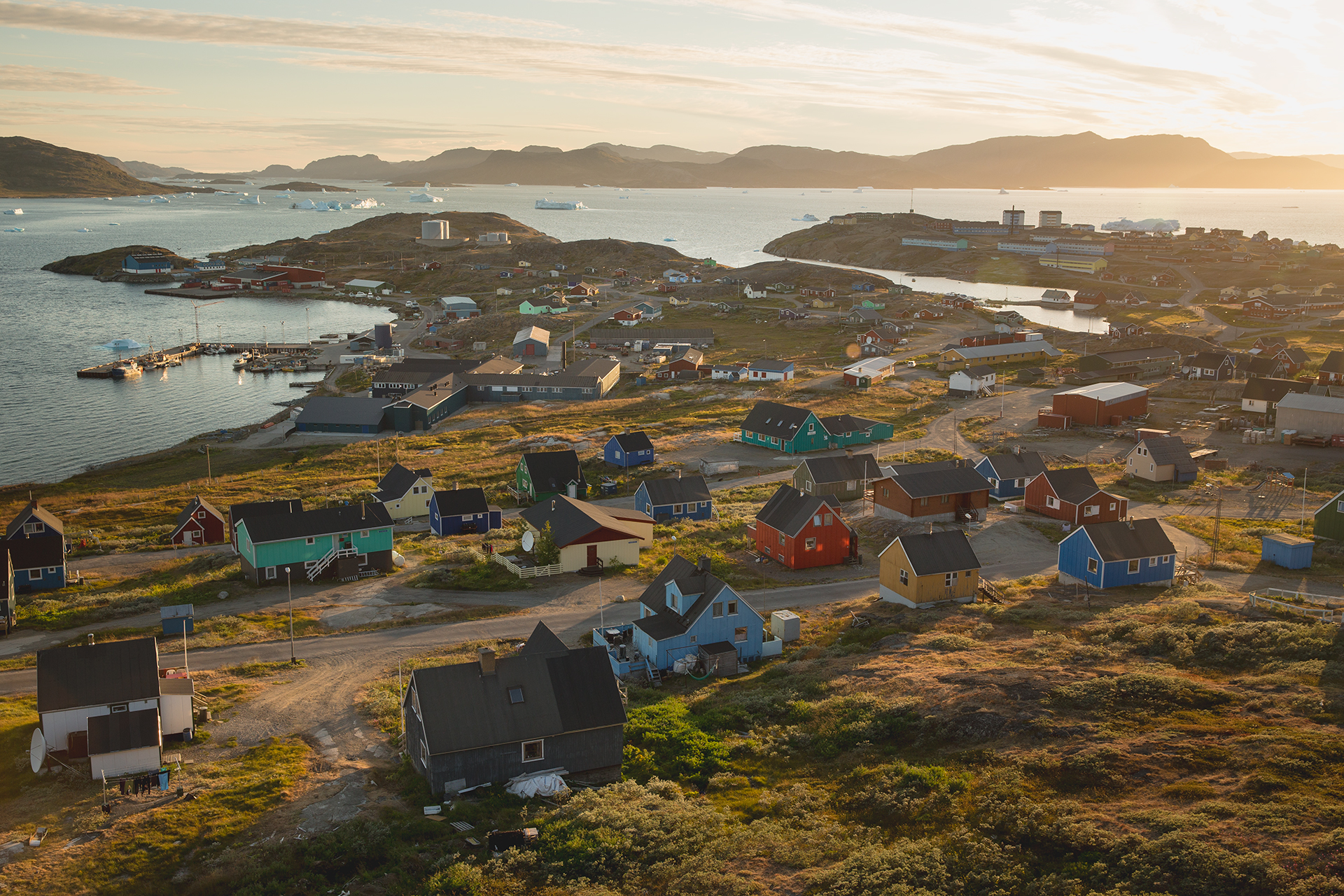
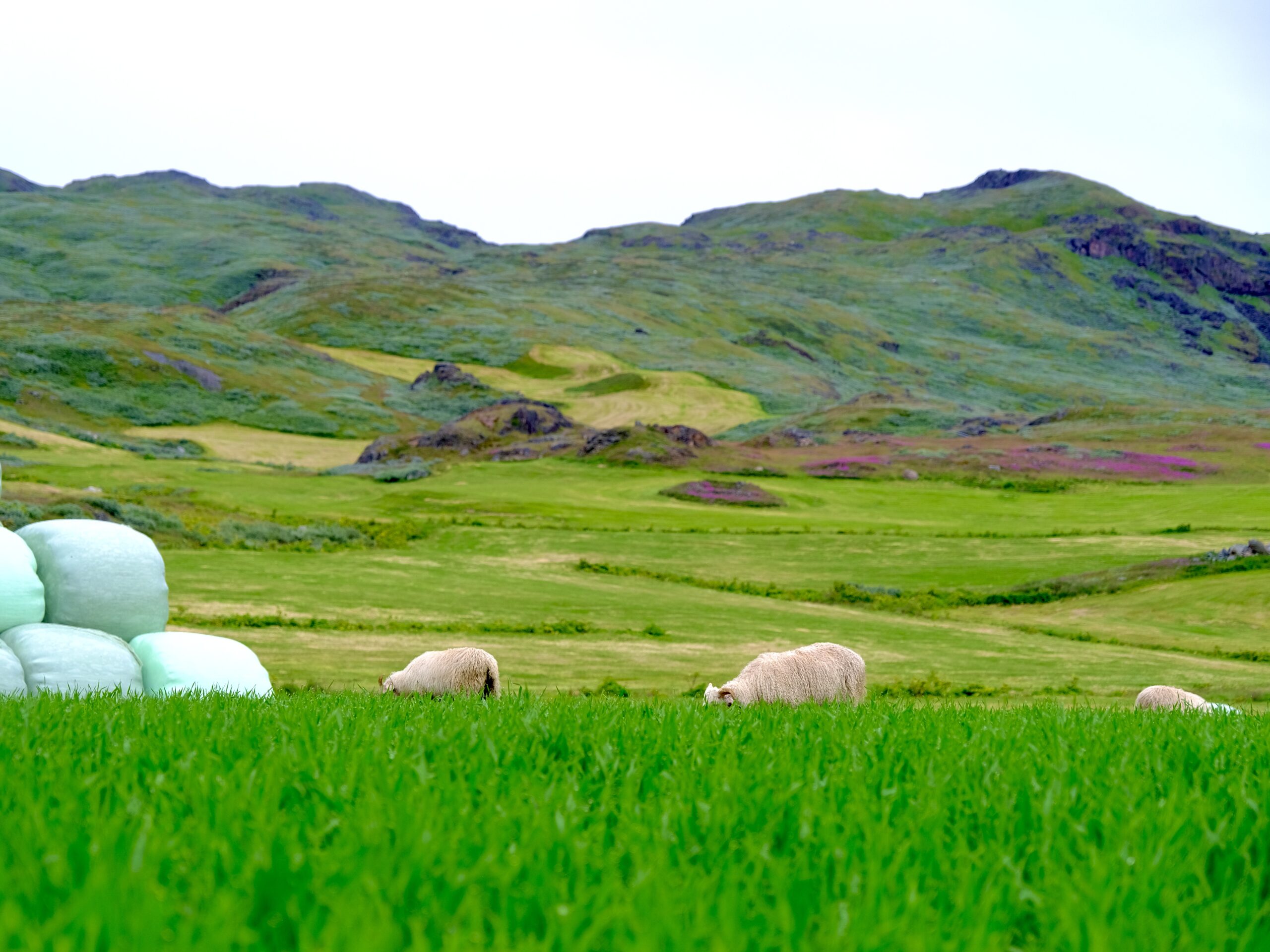
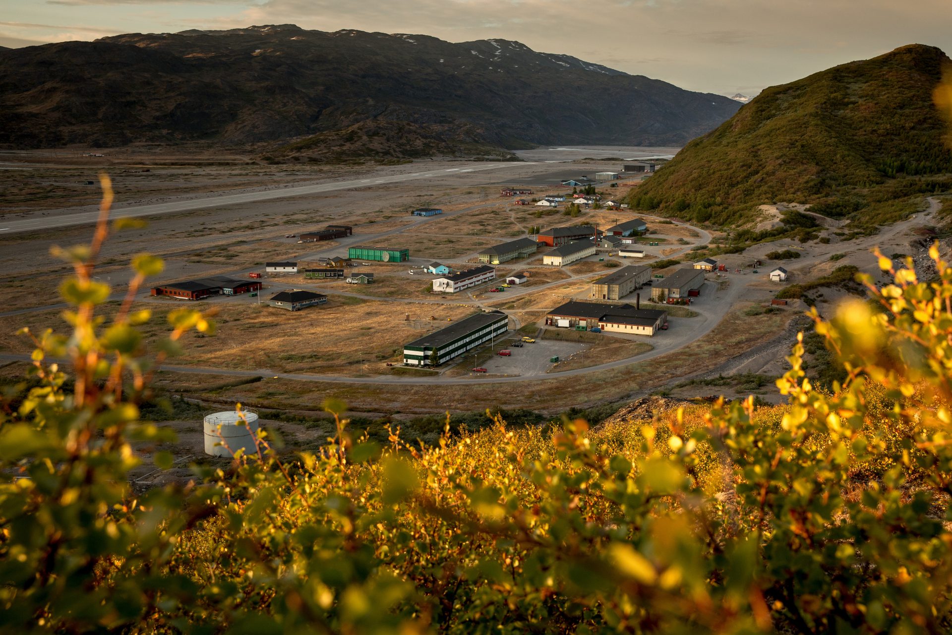
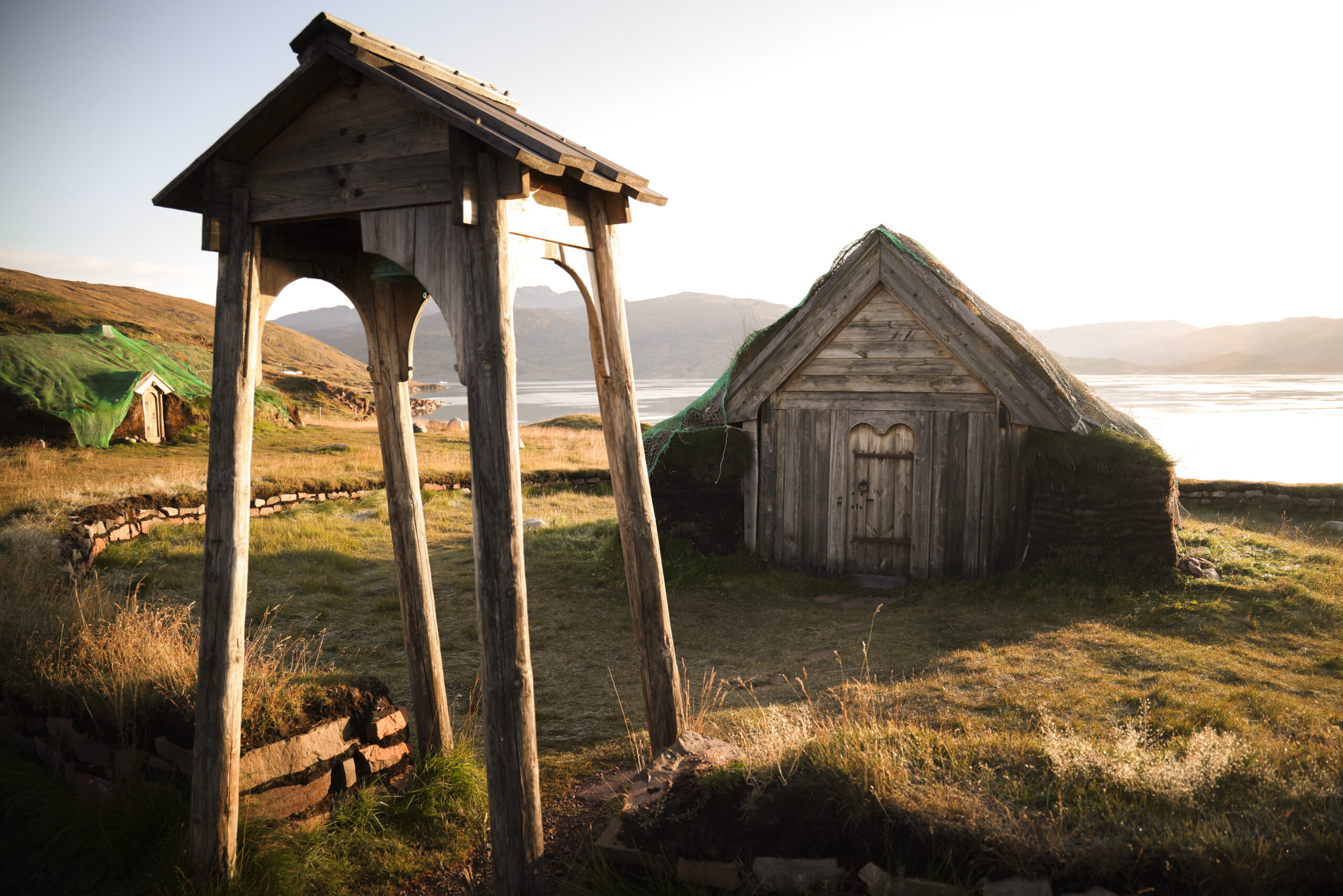
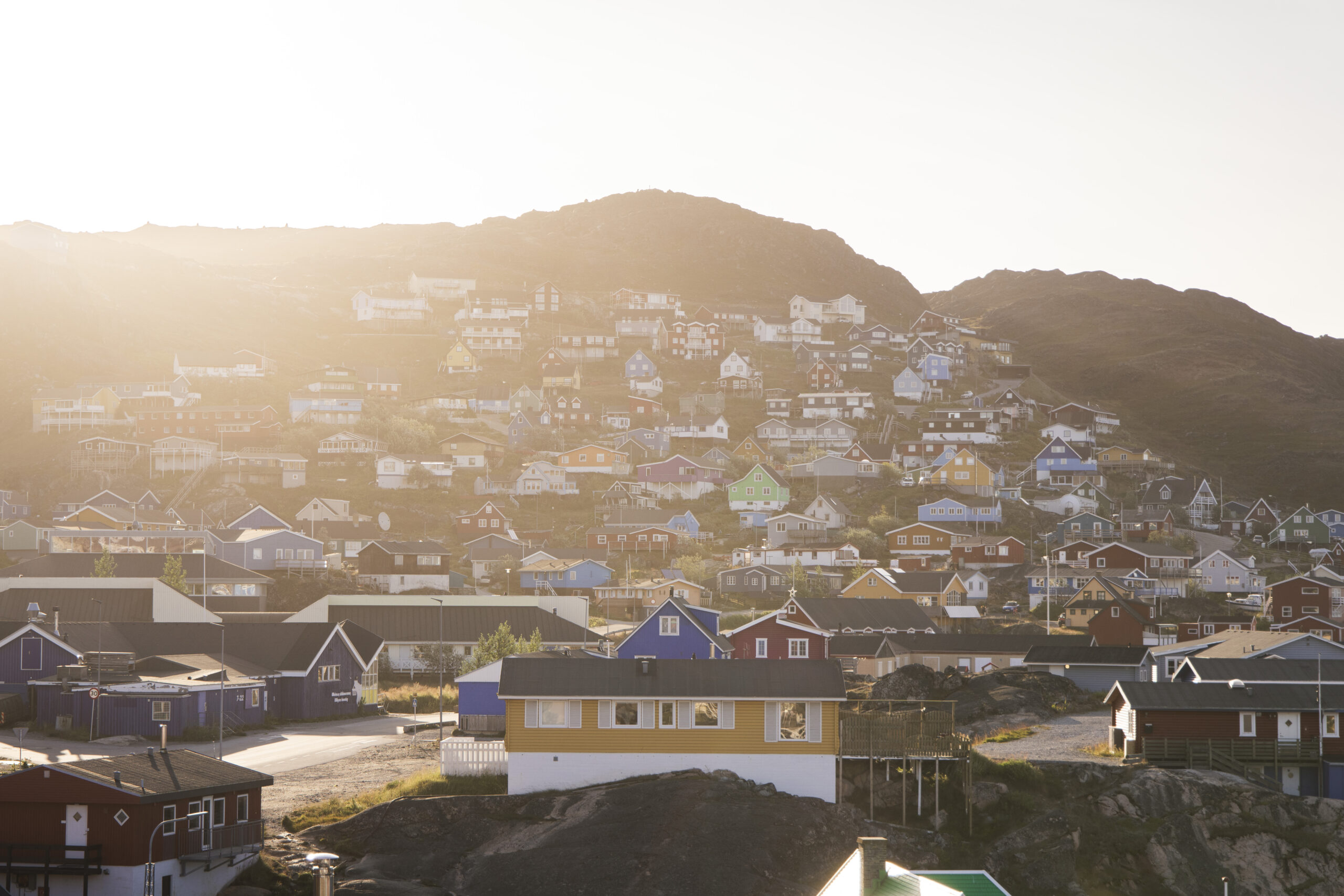
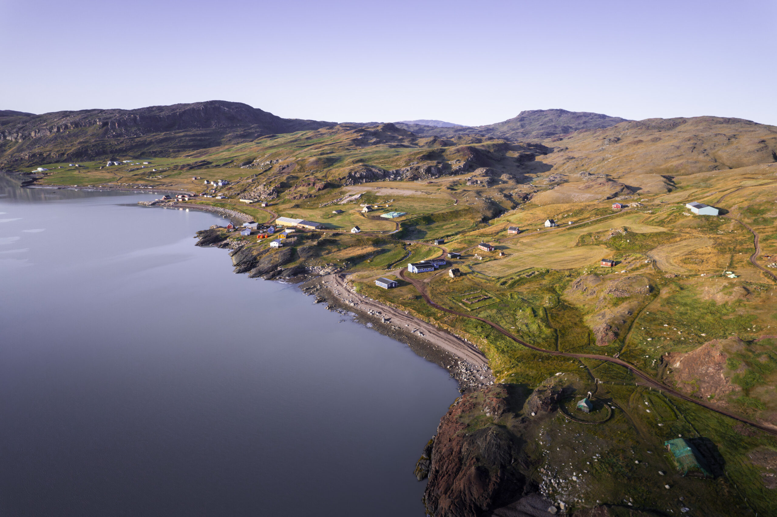
South Greenland is geographically the smallest region in the country, yet it has three towns, 11 settlements and 37 sheep farms. We think this is a perfect combination, as it makes visiting multiple places in a relatively short period simple and natural with boat transfers and helicopter rides. Or, if you have plenty of time and energy, hike your way through our gorgeous region equipped with great maps and safety communication equipment.
Map of the Region

New Downloadable Maps
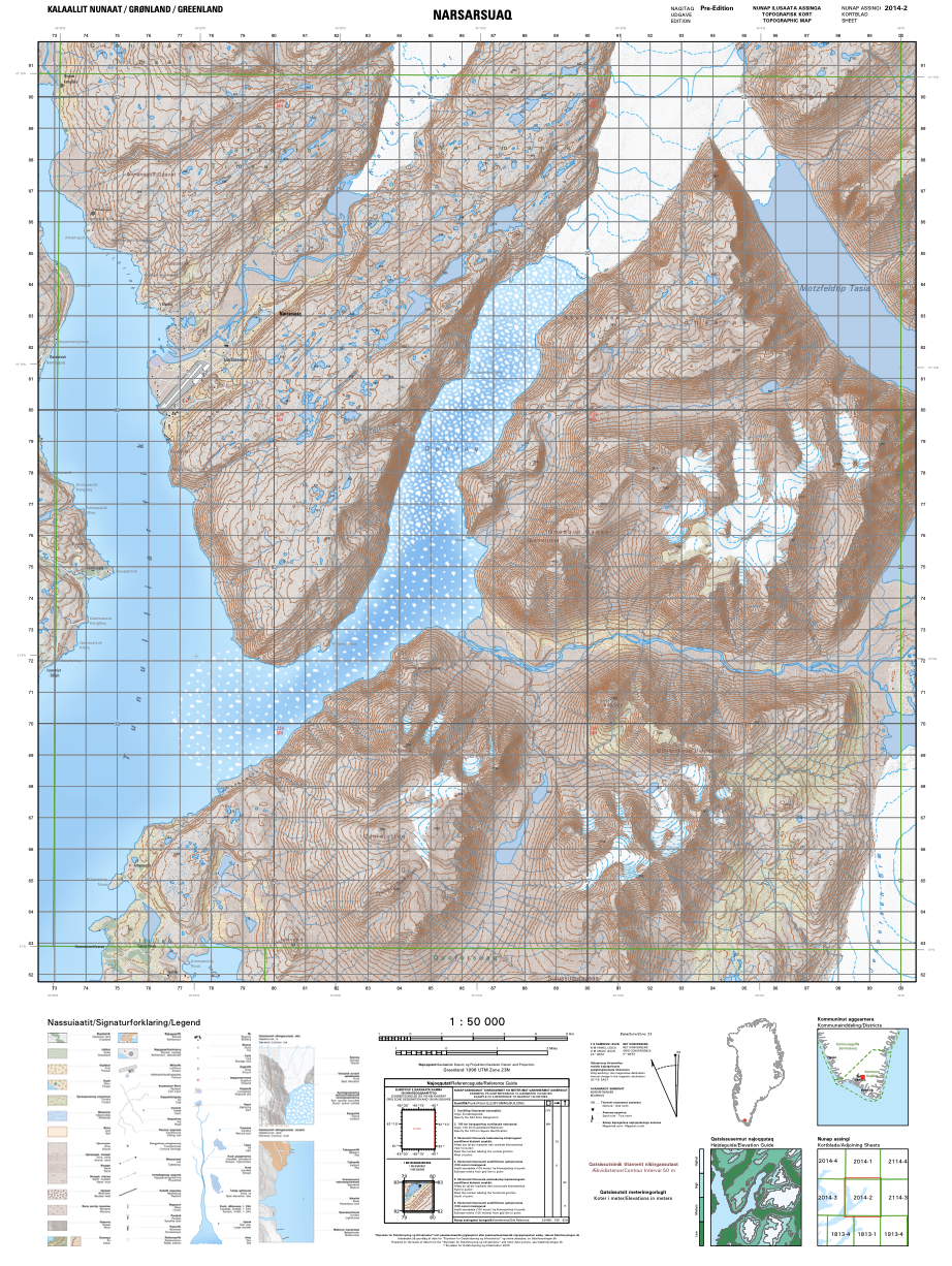
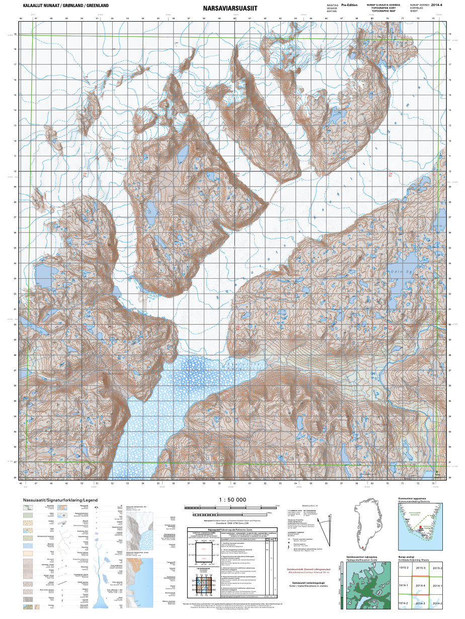
The Danish institute for data collection and infrastructure (Dataforsyningen) has created an all-encompassing online universe of map material for the entire country of Greenland (as well as for Faroe Islands, Denmark and Europe). The image quality of the maps is extremely high, communicated in Greenlandic, English and Danish, and the system is fed with data from Greenland's own Asiaq - Greenland Survey. There are many useful functions within the system such as viewing & downloading satellite pictures. It is also possible to download topographic maps in 1:50.000 scale as PDF files that can be used offline for way-finding via any map app that you most likely already have on your mobile.
Below you can find PDF topographic maps of the most common areas in South Greenland, listed in alphabetical order. Please feel free to click to download. If you use them / recreate them, it is customary to write a source credit to:
Dataforsyningen.dk
Note: the files contain quite a lot of information/data, and therefore it may take time for them to load.
Dataforsyningen.dk
Note: the files contain quite a lot of information/data, and therefore it may take time for them to load.
Note: the names below the maps are ones Visit South Greenland has made itself for easy reference. The number codes below the names are the official map ID numbers from Dataforsyningen.dk.
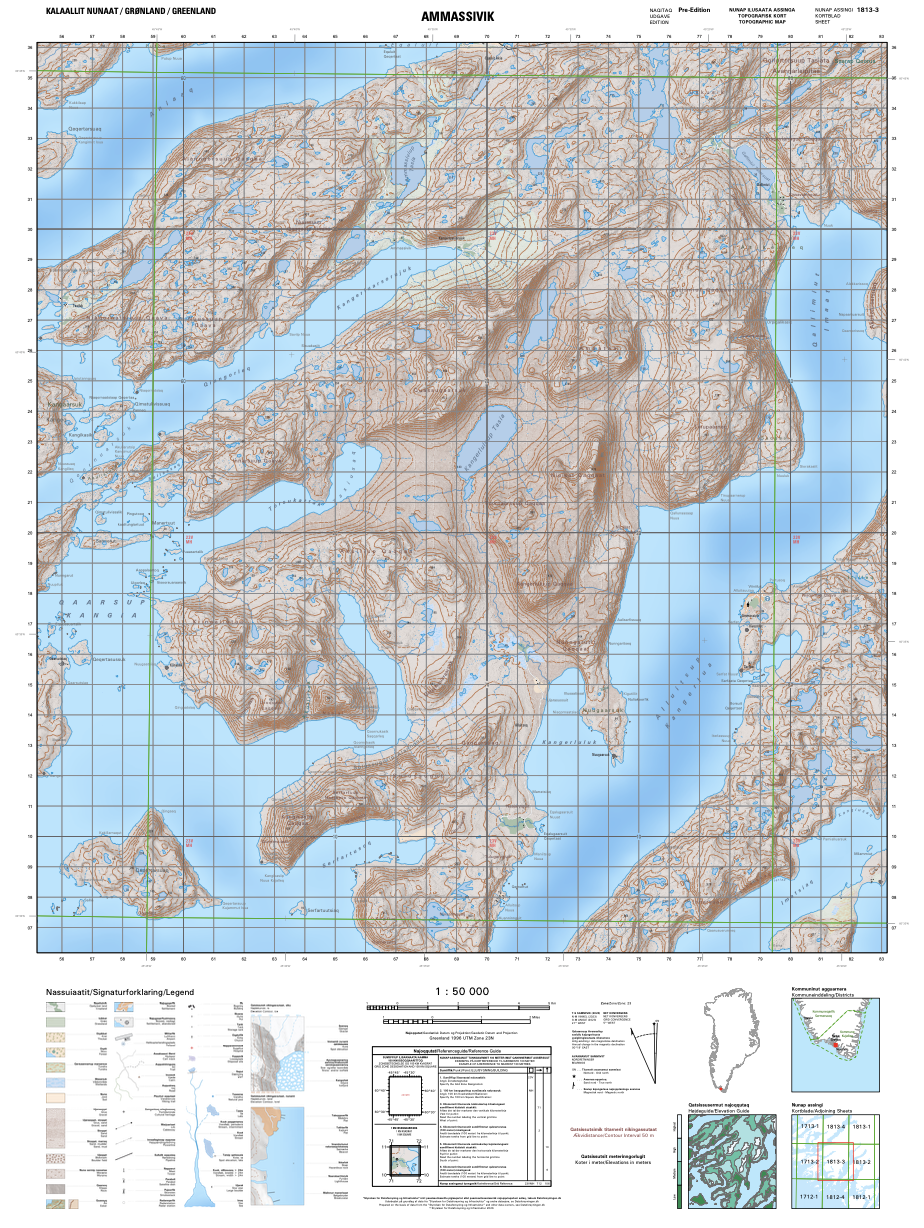
Alluitsup Paa to Qorlortorsuaq, Tasikuluulik west
GR50_1813-3
GR50_1813-3
Includes part of Tasikuluulik (within Area 4 of the UNESCO World Heritage Site), the sheep farms Tasiluk and Kangerluarsorujuk, the settlements of Alluitsup Paa and Ammassivik, most of Uunartoq Island, the former settlement Alluitsoq and the inhabited hydropower station Qorlortorsuaq
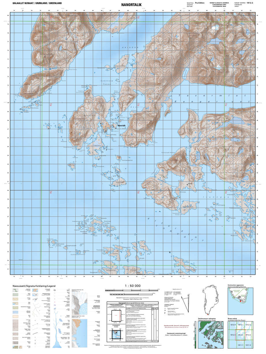
Nanortalik
GR50_1812-2
GR50_1812-2
Includes the town of Nanortalik and its surrounding mountains accessible by foot, plus the mouth of Tasermiut Fjord
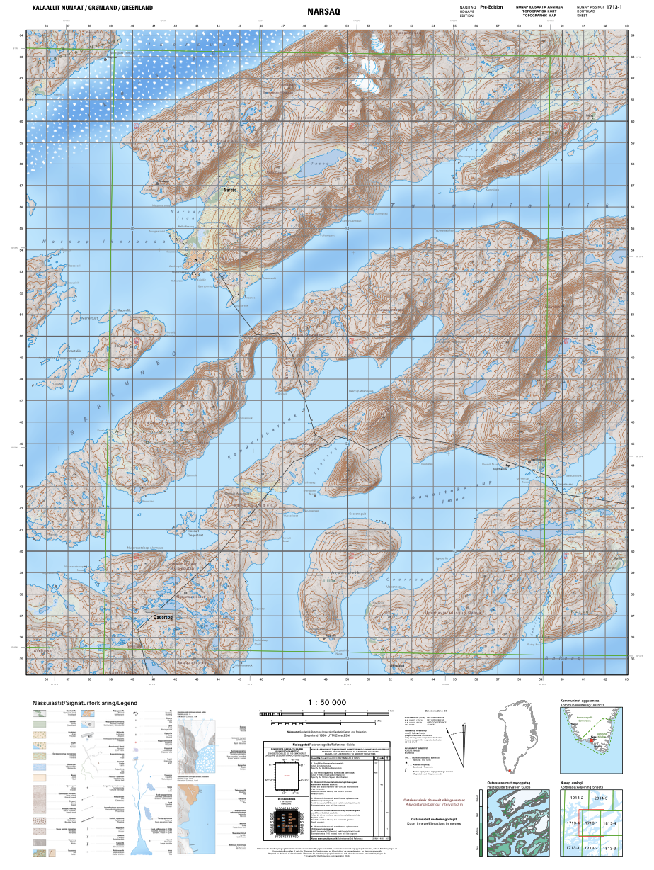
Narsaq, Arpatsivik
GR50_1713-1
GR50_1713-1
Includes the town of Narsaq, the immediate Qaqortoq backcountry, as well as the backcountry route from Qaqortoq toward Area 5 of the UNESCO World Heritage Site, including Qaqortukulooq / Hvalsey Church Ruin and Upernaviarsuk
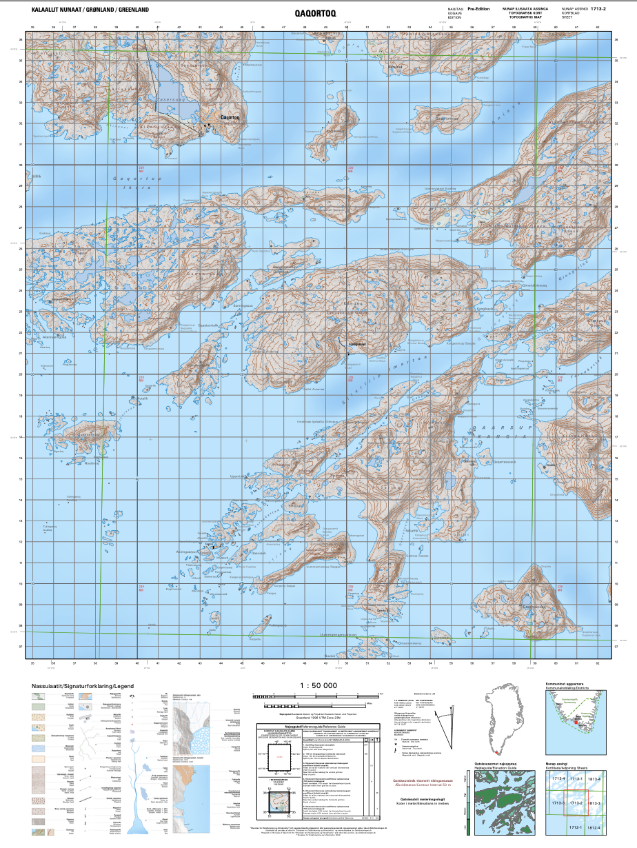
Qaqortoq
GR50_1713-2
GR50_1713-2
Includes the town of Qaqortoq and the area to the south, including the sheep farm Tasiluk and the settlements of Eqalugaarsuit and Saarloq
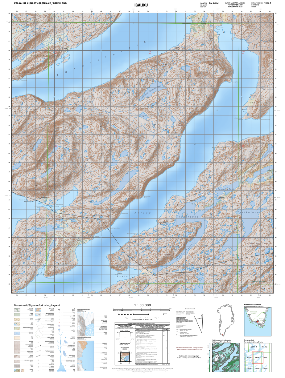
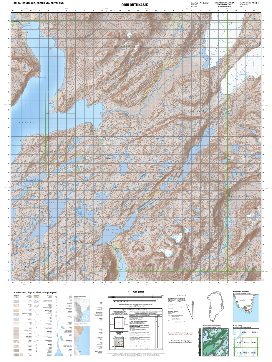
Qaqortukulooq to Igaliku
GR50_1813-4
GR50_1813-4
Includes the backcountry route from Qaqortukulooq / Hvalsey Church Ruin (Area 5 of the UNESCO World Heritage Site) toward Igaliku (Area 2 of the UNESCO World Heritage Site), as well as the western part of Tasikuluulik (Area 4 of the UNESCO World Heritage Site)
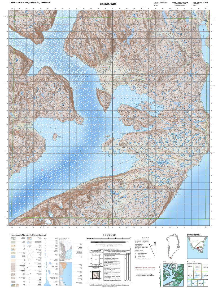
Qassiarsuk
GR50_2014-3
GR50_2014-3
Includes the entirety of Area 1 of the UNESCO World Heritage Site, the settlement Qassiarsuk and surrounding sheep farms like Illunnguujuk, Qorlortup Itinnera, Sillisit & Tasiusaq
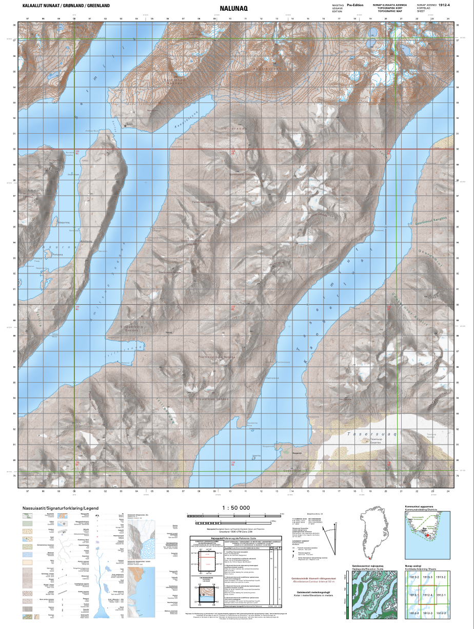
Tasermiut West, Nalunaq
GR50_1912-4
GR50_1912-4
Includes the north-west side of Tasermiut Fjord as well as Kuussuaq and part of Tasersuaq lake on the south-east side of Tasermiut Fjord
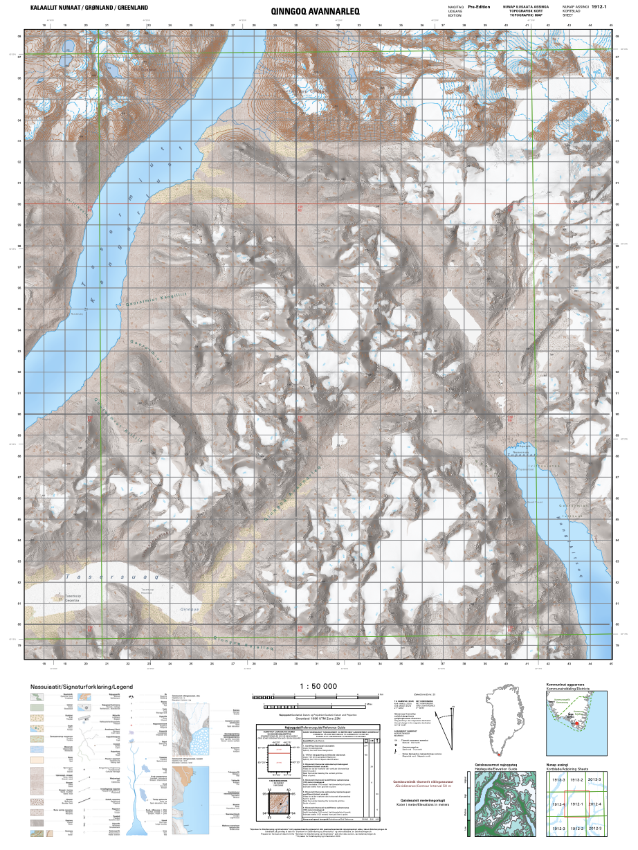
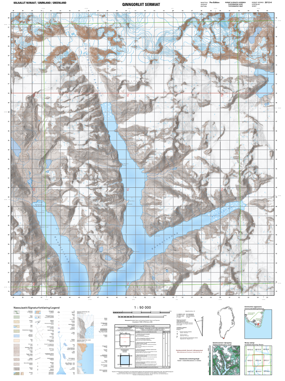
Tasermiut East, Kangikitsoq
GR50_1912-1
GR50_1912-1
Includes the known rock climbing mountains Ulamertorsuaq, Suikkassuaq and Naluumasortoq as well as Qinngua Valley at the eastern end of Tasersuaq lake and Kangikitsoq
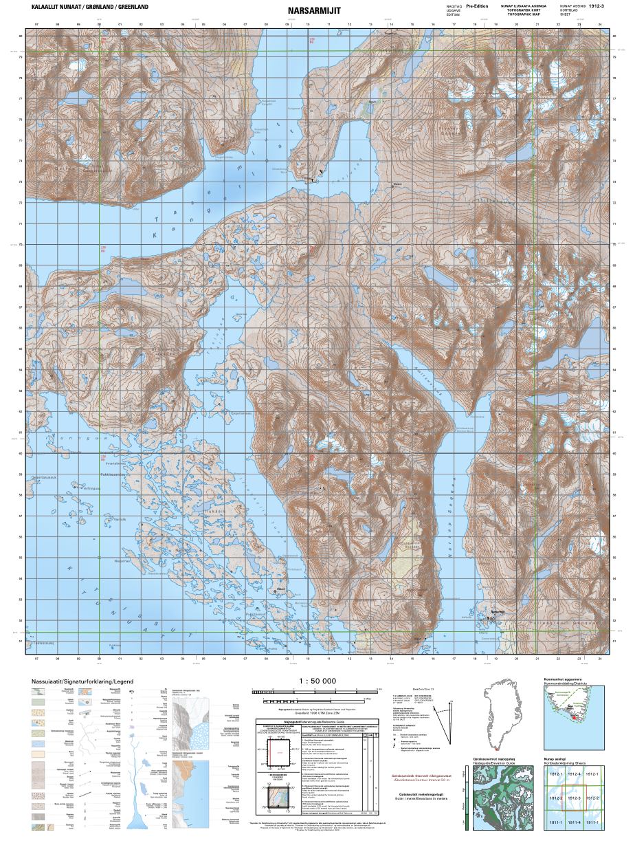
Tasermiut South, Narsarmijit
GR50_1912-3
GR50_1912-3
Includes the settlements of Narsarmijit and Tasiusaq (in Tasermiut Fjord) as well as the western end of Itillersuaq that connects to Torsukattak Sound to the east (see "Aappilattoq" map)
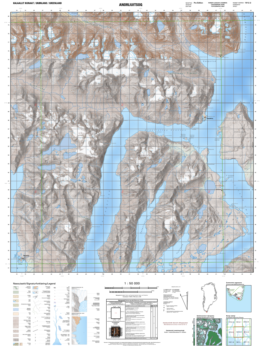
Aappilattoq
GR50_1912-2
GR50_1912-2
Includes the settlement Aappilattoq and the eastern end of Itillersuaq that connects to Tasermiut Fjord to the west (see "Tasermiut South" map)
The map material on Dataforsyningen.dk is available for everyone and anyone, completely free of charge. It does, however, require that you make a free log-in as well as install the free FileZilla program.
If there is a map from South Greenland that you want to have but which is not listed above, we are happy to either download it for you or send you instructions for how to install the FileZilla program necessary to make unlimited map downloads.
Contact the Tourism Destination Manager at sw@isg.gl.
If there is a map from South Greenland that you want to have but which is not listed above, we are happy to either download it for you or send you instructions for how to install the FileZilla program necessary to make unlimited map downloads.
Contact the Tourism Destination Manager at sw@isg.gl.
Locations
Explore the places in South Greenland with offerings for travellers.
